Getting Around Petaluma
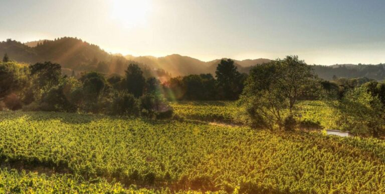
Stretched out on both sides of US Highway 101 on the southern edge of Sonoma County, Petaluma (pop. 57,941) boasts a well-preserved historic city center that has been featured in many Hollywood movies. Once called the ‘Egg Basket of the World’ for its bustling egg industry, it is now a foodie haven, known for its wines, craft beers and ales, olive oils, artisan cheeses, artisan bakeries, and acclaimed restaurants.
The interactive website petalumamap.com provides an overview of Petaluma’s various districts and lets you search by different categories, like tours, restaurants, arts, or shopping. Printed copies of this map and information are available at the Petaluma Visitors Center, which is located in a historic train depot. Visit Petaluma also offers more local transportation tips.
By Car
Whether you bring your own vehicle or rent a car, driving offers the most independent way of getting around Petaluma, allowing you to set your own schedule and itinerary.
Surrounded by rolling hills to the east and west, Petaluma boasts three exits off US Highway 101, which is the main north-south corridor through the middle of Sonoma County. One of those exits is State Highway 116 / Lakeville Highway, which is typically two lanes wide in most areas. Heading east it leads toward the town of Sonoma. To head west it first becomes part of Highway 101 North for several miles before branching off to the western Sonoma County town of Sebastopol and the Russian River Valley.
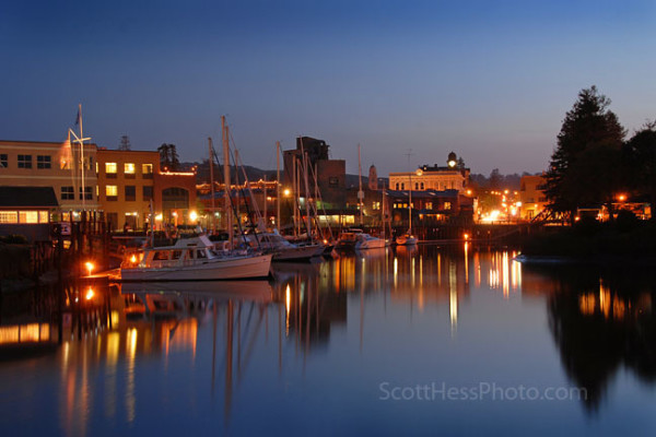
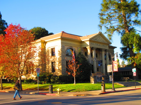
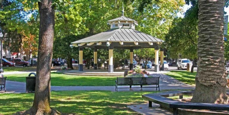
Just to the west of 101, Petaluma’s historic downtown area is filled with Victorian-era homes and elaborate downtown buildings, plus an engaging mix of boutiques, antique shops, specialty stores, and restaurants. The Petaluma River runs through the downtown area, creating a lovely waterfront area as it flows south to San Pablo Bay.
Beyond the downtown area, the two-lane Bodega Avenue winds its way west through long-established neighborhoods and onward to the farmlands around Valley Ford Road, which connects to scenic Highway 1 on the Pacific coast.
Tours and Private Transport
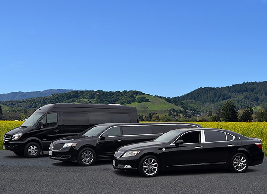
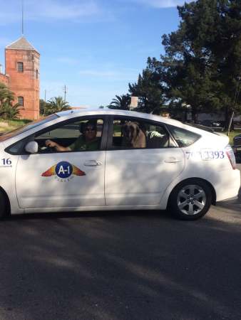
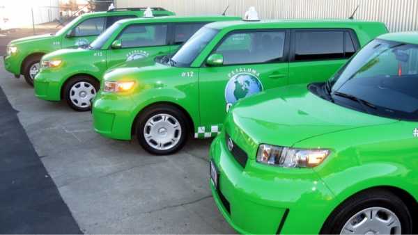
If you prefer to leave the driving and the details to others, there are several options. Ride-sharing services are available, and local taxi companies offer both local and out-of-town rides, as well as tours – A-1 Taxi of Petaluma, Petaluma Green Taxi, and Luxury Taxi (with a six-passenger disco van).
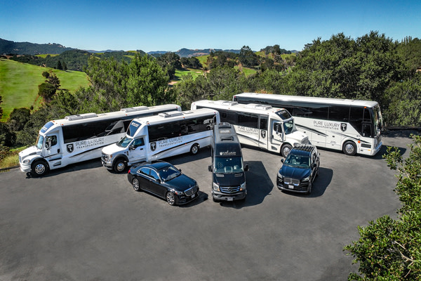
If a limo or other luxury vehicle is more your style, there’s Pure Luxury Transportation.
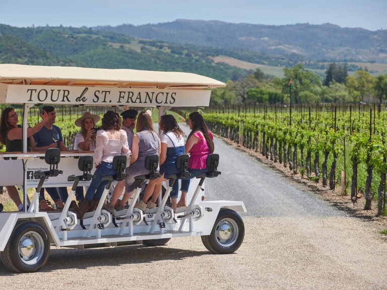
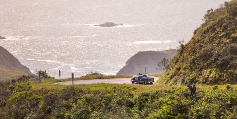
And Sonoma County tour companies provide a multitude of options, whether you want to go wine tasting, strolling under the redwoods, exploring small towns, or just taking in the incredible coastal views. Tour transportation of all types is available, including vans, buses, luxury cars, and stretch limos – but you can also see Sonoma County from a motorized trolley, an open air Jeep, a vintage biplane, and other unique vehicles.
Plus, there are designated driver services that will take you on customized tours in your own car or your rental vehicle.
Check our listings for Sightseeing & Tours and Transportation.
Buses and Trains
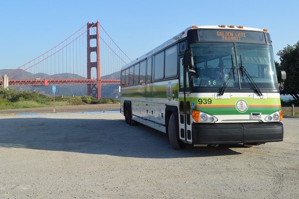
Petaluma Transit operates six bus routes around Petaluma, with bus stops typically every few blocks along each route. Its Copeland Transit Mall (Copeland Street and East Washington Street) lets you transfer to Sonoma County Transit or Golden Gate Transit buses.
Sonoma County Transit buses run from Petaluma to downtown Santa Rosa, where you can transfer to other SCT buses and Santa Rosa City Bus routes. Sonoma County Transit provides tips for using its bus service.
Golden Gate Transit offers bus routes from Petaluma to San Francisco, and provides an online trip planner to find the best route and schedule.
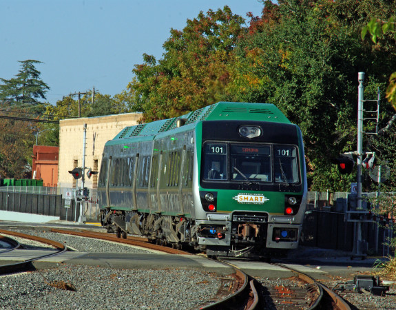
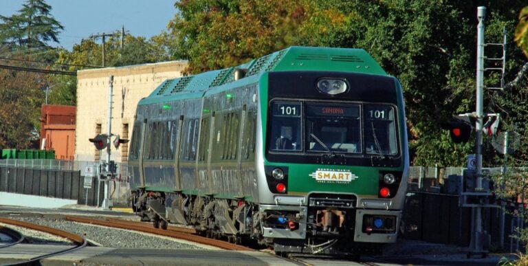
And the historic train depot in downtown Petaluma is now a Sonoma-Marin Area Regional Transit station. Sleek, energy-efficient, clean diesel SMART trains carry passengers along 43 miles of track, from the Charles M. Schulz Sonoma County Airport station at the north end of Santa Rosa, south to Larkspur, which offers ferry service to San Francisco.
The Petaluma station is the southernmost of the six SMART stations located in Sonoma County. For details, read our Guide to Exploring Sonoma County by SMART Train.
NOTE: One of the best ways to pay your fare on Petaluma Transit, SMART, Sonoma County Transit, or Golden Gate Transit is to use a Clipper Card, which is accepted by more than 20 transit agencies in the greater San Francisco Bay Area, including the San Francisco Bay ferries. You load money on your card, and then just swipe it to pay your fare. You can order a Clipper card online or buy one at participating local retailers.
Airports near Petaluma

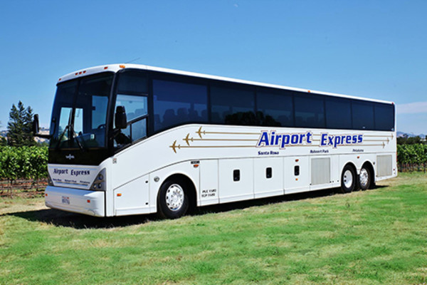
Three major carriers offer daily flights from Santa Rosa’s Charles M. Schulz-Sonoma County Airport (STS). The airport offers a choice of rental car services, ride sharing, taxis, and other ground transportation options, and is located slightly more than a mile west of the SMART train station. Transportation options between the airport and train station include Sonoma County Transit buses, taxis, or ride sharing services.
Groome Transportation runs buses between STS and San Francisco International Airport (SFO) and Oakland International Airport (OAK), with stops in Sonoma County, including the Sonoma County Fairgrounds in Santa Rosa, the Doubletree by Hilton Hotel in Rohnert Park, and the Sonoma-Marin Fairgrounds in Petaluma.
Bike Trails
Petaluma offers all levels of cycling routes, whether it’s just running errands around town, enjoying an easy recreational cycle on a dedicated trail, or more challenging hillside treks. The Petaluma Wheelmen Cycling Club hosts local rides, and provides details about Popular Rides from Petaluma. You can also download a map of Petaluma Bicycle & Pedestrian Routes.
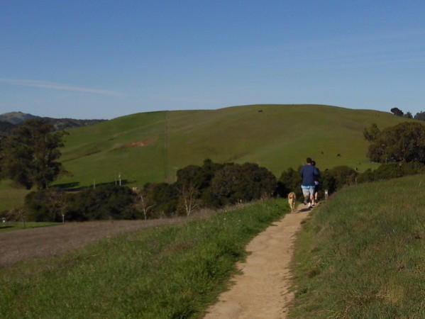
Although it’s close to downtown, you’ll feel like you’ve traveled to a remote wilderness area at Helen Putnam Regional Park. It offers six miles of mostly gentle trails amid rolling hills and panoramic views, making it a great place for beginning or rusty mountain bikers to build up confidence and skill. There’s great bird watching, five different kinds of oak forest, extensive grasslands, and a remarkable variety of seasonal wildflowers.
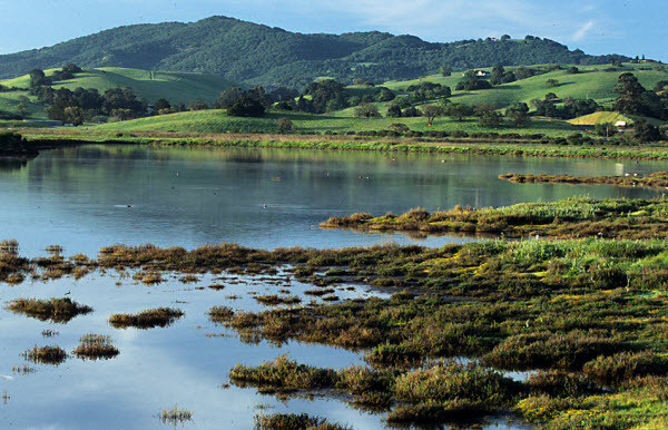
Located next to the Petaluma River, the 165-acre Shollenberger Park offers five miles of flat walking/bicycle paths, some paved, and the rest gravel. The bird watching is great, and there’s a fishing pier.
And it’s fairly easy to combine biking with public transportation. Petaluma Transit buses are outfitted with a front-mounted bicycle rack for two or three bicycles (riders are responsible for loading and unloading bicycles on a first-come, first-served basis). Each Sonoma County Transit bus includes a rack that can fit two or three bikes, and each two-car SMART train has spaces for up to 24 bikes.
For ideas about exploring Sonoma County on two wheels, check our Guide to Cycling in Sonoma County and Popular Bike Itineraries: Cycling through Wine Country.
If you’d prefer to leave the details to an expert and ride with a local guide, read the ‘By Bike’ section of our Guide to Food and Wine Tours. And whether you want to plan your own route or follow a guide, check our listings of Bike Rentals and Tours.
Walking and Hiking Trails
The town of Petaluma itself is fairly flat. While the outer districts are fairly spread out, the downtown area is relatively compact, with most everything within walking distance. The Petaluma Historical Library & Museum offers free walking tours led by costumed docents (most Saturdays, May-October).
Just two miles from downtown, Helen Putnam Regional Park offers nearly six miles of mostly gentle trails (also open for cycling and horseback riding). With a choice of a somewhat steep climb up from the parking lot or a gentler approach on the paved Ridge Trail, the Panorama Trail provides great views of Petaluma to the east and rural Sonoma County to west.
And don’t forget the five miles of flat walking/bicycle trails next to the Petaluma River at Shollenberger Park.
For additional ideas about where to go and what to do, read 5 Fun Things to Do in Petaluma, What Petaluma is Famous For, 12 Tour Ideas for Exploring Sonoma Wine Country, and Guide to Food and Wine Tours.
You can also learn more by checking our listings of Things To Do, Hotels & Lodging, and Food & Wine throughout Sonoma County.
Places Mentioned
THIS IS WINE COUNTRY.
Share your experience using #SonomaCounty or #LifeOpensUp
