Getting Around Santa Rosa
A vibrant city in the center of rural Sonoma Wine Country, Santa Rosa (pop. 170,685) blends small-town friendliness with urban amenities. Its thriving downtown boasts three distinct shopping districts and five historic residential neighborhoods.
By Car

Whether you bring your own vehicle or rent a car, driving is a common choice for getting around Santa Rosa, and offers the most flexibility.
The multi-lane US Highway 101 corridor runs north-south through Santa Rosa, with 10 Santa Rosa exits off the freeway. The smaller state Highway 12 runs east-west, connecting with Highway 101 in Santa Rosa.
Fulton Road, Stony Point Road, Santa Rosa Avenue, and Mendocino Avenue all run parallel to 101, and are typically used as surface-street options for those wanting a route off the main 101 freeway corridor.
The city of Santa Rosa provides an interactive map of its downtown area.
Tours and Private Transport

Perhaps you prefer to let someone else handle the details and driving. For short trips, you can use a ride sharing service or check our listings for taxis (and many taxi companies also offer longer rides, local tours, and other services).
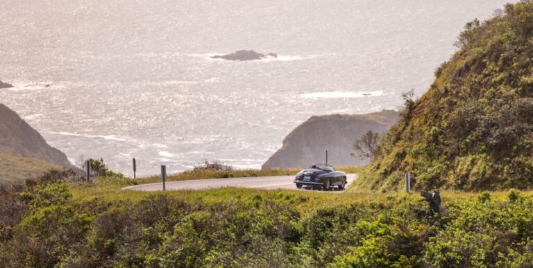
And if you want to go wine tasting, strolling under the redwoods, exploring small towns, or just taking in the incredible coastal views, a Sonoma County tour company can provide just what you need.
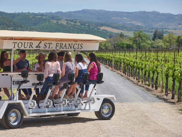
All types of tour transport is available, including vans, buses, luxury cars, and stretch limos – but you can also see Sonoma County from a motorized trolley, an open air Jeep, and other unique vehicles. Plus, there are designated driver services that will take you on customized tours in your own car or your rental vehicle. For options, read 12 Tour Ideas for Exploring Sonoma Wine Country, and Guide to Food and Wine Tours, and check our listings for Sightseeing & Tours and Transportation.
Buses and Trains

Santa Rosa Transit & CityBus offers 17 fixed bus routes throughout the city, and provides online Trip Planning Tools and a Trip Planner that help you understand the system and find the best available routes to get where you want to go. Sonoma County Transit offers town-to-town service from Santa Rosa to other Sonoma County communities, and provides tips for using its bus service.
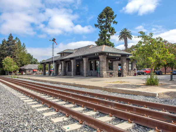
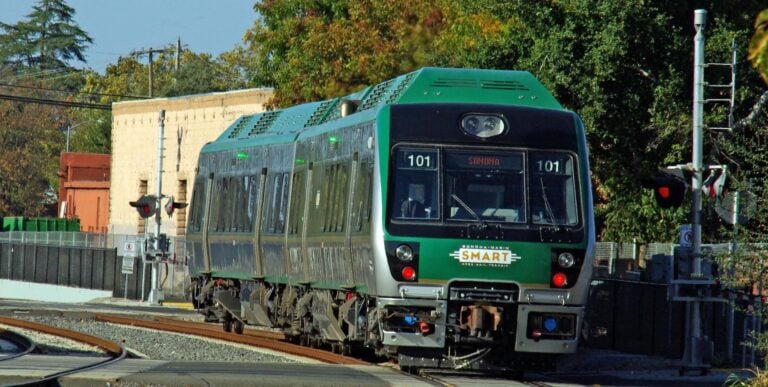
Both Santa Rosa CityBus and Sonoma County Transit offer bus routes that take you to the local train stations for Sonoma-Marin Area Rail Transit.
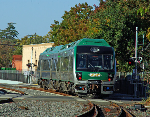
Sleek, energy-efficient, clean diesel SMART trains carry passengers along 43 miles of track, from the Charles M. Schulz Sonoma County Airport station at the north end of Santa Rosa, south to Larkspur, which offers ferry service to San Francisco. For details, read our Guide to Exploring Sonoma County by SMART Train.
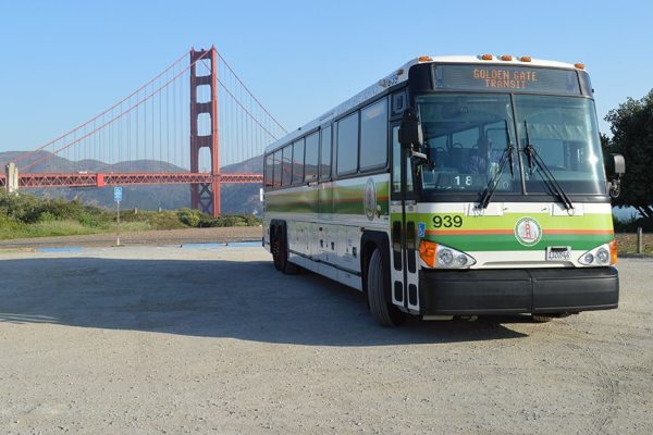
Plus, Golden Gate Transit buses run from Santa Rosa to San Francisco; an online trip planner let you plan your trip.
NOTE: One of the best ways to pay your fare on Santa Rosa CityBus, SMART, Sonoma County Transit, or Golden Gate Transit is to use a Clipper Card, which is accepted by more than 20 transit agencies in the greater San Francisco Bay Area, including the San Francisco ferries. You load money on your card, and then just swipe it to pay your fare. You can buy a Clipper card online or at participating local retailers.
Airports in or near Santa Rosa

Four major carriers offer daily flights from Santa Rosa’s Charles M. Schulz-Sonoma County Airport (STS). The airport offers a choice of rental car services, ride sharing, taxis, and other ground transportation options, and is located slightly more than a mile west of the SMART train station. Transportation options between the airport and train station include Sonoma County Transit buses, taxis, or ride sharing services.
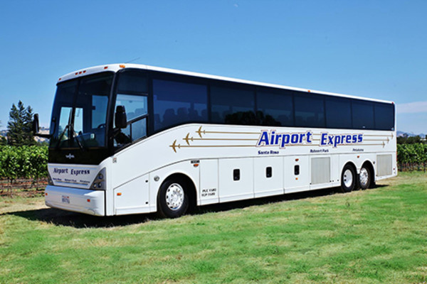
Groome Transportation runs buses between STS and San Francisco International Airport (SFO) and Oakland International Airport (OAK), with stops in Sonoma County, including the Sonoma County Fairgrounds in Santa Rosa, the Doubletree by Hilton Hotel in Rohnert Park, and the Sonoma-Marin Fairgrounds in Petaluma.
Bike Trails
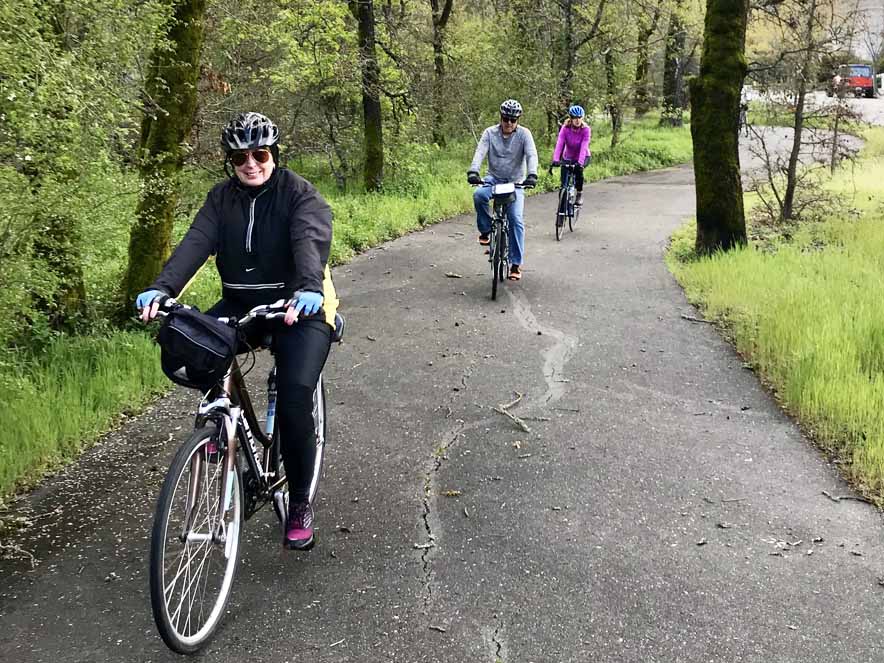
Whether you’re a beginner or pro, cycling can be a great way to get around Santa Rosa, which offers a vast network of bike trails. The city offers a Creek Trails of Santa Rosa map, and the Santa Rosa Cycling Club hosts local rides and events and a library of routes for Ten Great Rides throughout Sonoma County. For even more ideas, read our article on Bike Trails in Santa Rosa.
And all the local transit systems let you bring your bicycle on board, making it easy to combine biking and public transportation. Santa Rosa CityBus allows bicycles (with no additional fee) on all bus routes; you can put them on the rack on the front of the bus or, if there’s room inside the bus, you can secure your bicycle in the area reserved for people using wheel chairs. Each Sonoma County Transit bus includes a rack that can fit two or three bikes, and each two-car SMART train has spaces for up to 24 bikes.
For ideas about how to explore throughout Sonoma County on two wheels, read our Guide to Cycling in Sonoma County and Popular Bike Itineraries: Cycling through Wine Country.
If you’d prefer to plan your own route or follow a guide, check out our listings of Bike Rentals and Tours.
Walking and Hiking Trails

Although Santa Rosa is a large city, it’s also relatively flat and includes a number of neighborhoods where everything is within walking distance.
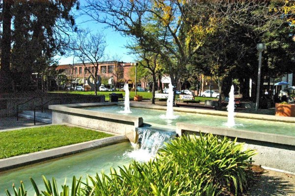
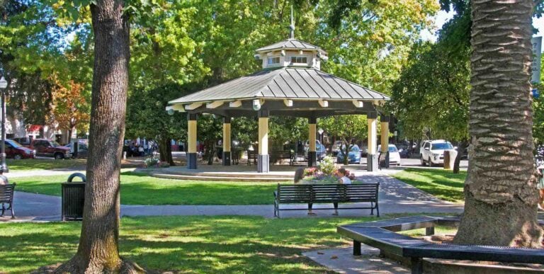
Just west of Highway 101, the Historic Railroad Square offers an authentic old town ambiance with a variety of antique stores, galleries, and other shops, as well as lodging, entertainment, and live theater. After being divided by busy roads for decades, Courthouse Square was recently reunified, creating a beautiful outdoor plaza and community gathering space, which is surrounded by a variety of boutiques, shops, restaurants, and businesses just east of Highway 101. And slightly to the southeast, the South A Street Art District (known as SOFA) includes the highest concentration of art studios (about 30) in Sonoma County, as well as a number of galleries, restaurants, and other businesses.
The city provides an interactive map of downtown Santa Rosa that includes directions for walking tours of Railroad Square, the West End, St. Rose Historic District, Cherry Street, and the Civic Center Art Walk.
On the eastern edge of the city, Santa Rosa Rural Cemetery offers self-guided and docent-led historic walking tours. And on Santa Rosa’s western edge, the 1.8-mile multi-use Laguna de Santa Rosa Trail lets you view wildlife while exploring the county’s largest freshwater wetland complex.
For more ideas about what to see and how to get around in Santa Rosa, the volunteers at the Santa Rosa Visitor Center / California Welcome Center in Railroad Square will be happy tp help you.
You can also learn more by reading 5 Fun Things to Do in Santa Rosa, and checking our listings of Things To Do, Hotels & Lodging, and Food & Wine throughout Sonoma County.
THIS IS WINE COUNTRY.
Share your experience using #SonomaCounty or #LifeOpensUp
