Hood Mountain Trails: The Rugged Paradise
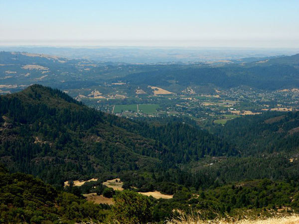
With nearly 2,000 acres at the northern end of the Sonoma Valley, Hood Mountain Regional Park & Open Space Preserve offers 19 miles of trails geared to fit hikers. Trails here wind across creeks, through grasslands, into forests, and up peaks, providing challenge and stunning views in the process.
Together, we can protect and preserve the beauty and natural resources of Sonoma County for generations to come. Check out our page on Sustainable Travel, and look over the Leave No Trace Seven Principles.
A Hood Mountain hike is moderately strenuous, and the rugged terrain requires a sensible approach. Come equipped with plenty of water, as well as layers of clothing to fit changing weather and elevation. The trails are mostly nicely graded, but there are occasional rough patches. Sturdy hiking boots are definitely recommended. Download a park map.
One of the most rewarding hikes is definitely the round-trip trek to a rocky outcrop, Gunsight Rock, that’s situated near the 2,730-foot summit. Three different trailheads can get you here, with each trail gaining an approximate 2,000 feet of elevation.
Start at the Pythian Road trailhead, no more than two miles off Highway 12. The round-trip hike is a bit more than six miles. At the trailhead, a parking fee of $7 is required, free for Regional Parks members.
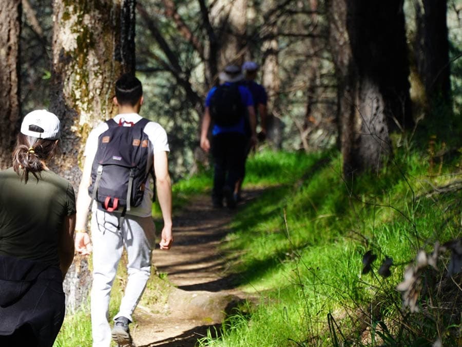
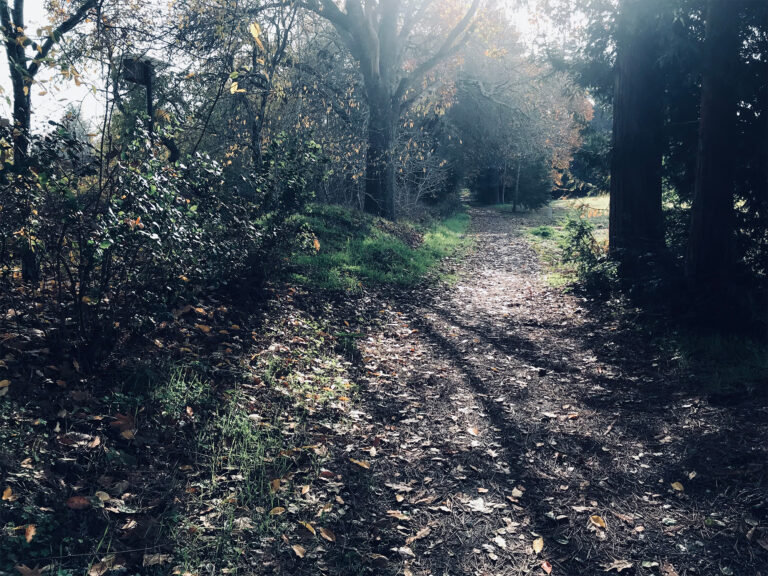
Follow signs to the Lower Johnson Ridge trail. For a while you’ll walk along a steep paved road, but before long you’ll be moving along on solid dirt, heading for the summit – the top of Hood Mountain, one of the southernmost peaks in the Mayacamas range. The route is heavily forested and the trail thus well-shaded, but on a bright summer day expect it to be hot.
Distinct habitats you’ll pass include chaparral (Manzanita, coyote brush, poison oak), pygmy forest (Sargent Cypress at 10-15 feet), mixed oak forest (Coast live oak, Douglas fir, California Buckeye, Bigleaf Maple; lesser amounts of Tanbark oak, Pacific Madrone, Hollyleaf cherry and other species), and riparian zones (ferns, California laurel, toyons).
After about 1.5 miles you’ll cross a bridge and arrive at a fork; turn left, and move uphill onto Pond Trail. In another .5 miles you’ll reach the Upper Johnson Ridge Trail; turn right. A mile later you’ll encounter a T-junction; turn right again.
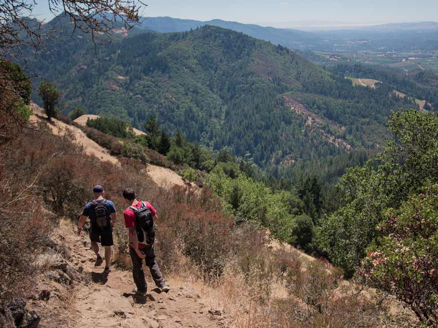
Now, as you near the Hood Mountain summit, the trail becomes really steep. When you finally reach the summit, it’s a bit disappointing. There’s really not much to see because of the extremely thick manzanita and pine cover. But don’t turn back: the view will be magical just a bit further on when you reach Gunsight Rock.
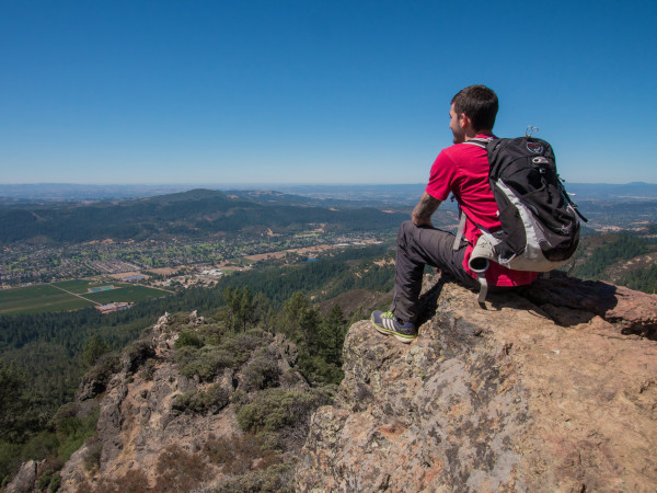
Continue on another quarter-mile, following signs for Gunsight Rock, which is actually a majestic promontory consisting of two big rocks above Sonoma Valley about 300 feet below the summit.
When you arrive, don’t be surprised if no one else is there; that’s often the case, since this hike is a bit more than most casual hikers want to tackle. You may, however, spot a turkey vulture or two sunning on a nearby rock. Ignore them, and they’ll ignore you.

Take a well-earned rest and a water or lunch break, stretching out on this steep perch while gazing out over the sights: Mount Tamalpais, San Francisco and its Bay, the Golden Gate Bridge, and Oakland; nearer to you are Sonoma Mountain, Taylor Mountain, the city of Santa Rosa, and much more.
Ah, Wilderness! And it’s an easy downhill on the way back.
Tip: Hood Mountain trails connect with those in adjacent Sugarloaf Ridge State Park, and experienced hikers can make a one-way trek by using the Sugar Shuttle, a six-passenger van that makes hourly loops between the two parks on selected weekends, March to November. Park your vehicle at the end of your planned route and take the shuttle to the starting trailhead.
More information:
- Hood Mountain Regional Park & Open Space Preserve, 1450 Pythian Road, Santa Rosa, 707-539-8092.
- There are also recreational opportunities at Hood Mountain for mountain bikers, equestrians, and casual picnickers.
- Dogs are allowed on trails on a 6-foot leash.
Find more info on Things to Do, Outdoor Activities, Hotels & Lodging, Campgrounds, and Restaurants in Sonoma County.
Written by Sonoma Insider Suzie Rodriguez.
This Is Wine Country.
Share your experience using #SonomaCounty or #LifeOpensUp
