Fun Hikes in Santa Rosa
One of the best ways to get outside and explore Santa Rosa is to slip into a pair of good hiking boots and head out on a local trail.
Whether you’re an avid or novice hiker, hiking (or walking!) offers ample opportunities for you to discover the wealth of flora, fauna, and outdoor adventures that await you in Santa Rosa.
From paved pathways to mountainside scrambles, here are five of the area’s most popular hiking trails:
Difficulty Level: Easy
The Loop at Spring Lake Regional Park

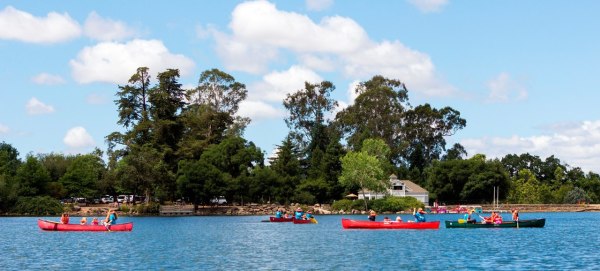
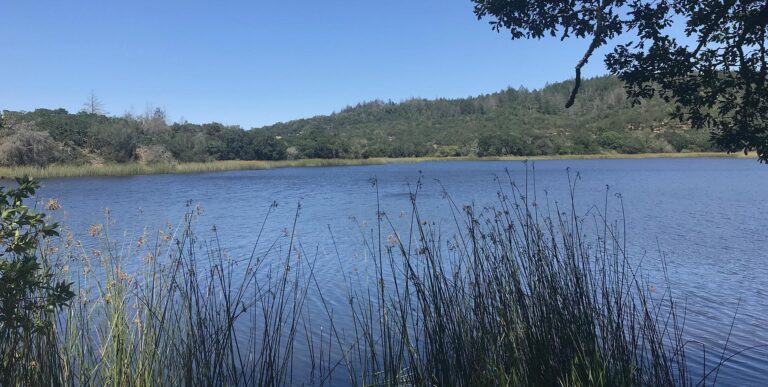
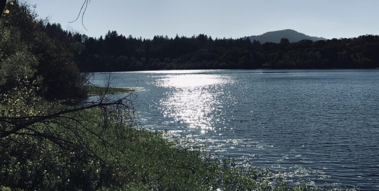
Tucked amidst the rising hills on Santa Rosa’s eastern edge, beautiful Spring Lake Regional Park is a 320-acre urban oasis. It’s home to a 72-acre lake, ponds, a spring-fed swimming lagoon, oak woodlands, meadows, and grasslands. And, from spring into summer, wildflowers are everywhere!
Spring Lake’s flat, paved 2.3-mile trail circles the lake and can be enjoyed by everyone, including parents pushing baby strollers or outdoor-lovers who use wheelchairs. Along the trail, you’ll pass the swimming lagoon, lakefront picnic areas, and benches inviting you to sit for a spell to pause and watch life on the lake — ducks and other waterfowl cavorting in the water, people strolling about or fishing from banks, kayakers, and paddleboarders and pedal-boaters just having fun.
Up for more hiking or family adventure? Spring Lake connects directly to two other parks: Santa Rosa’s 152-acre Howarth Park, a kiddie paradise with a miniature train, pony rides, a carousel, and a small lake of its own; and 5,500-acre Trione-Annadel State Park, which offers miles of challenging trails.
Prince Memorial Greenway and Santa Rosa Creek Trails

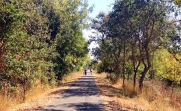
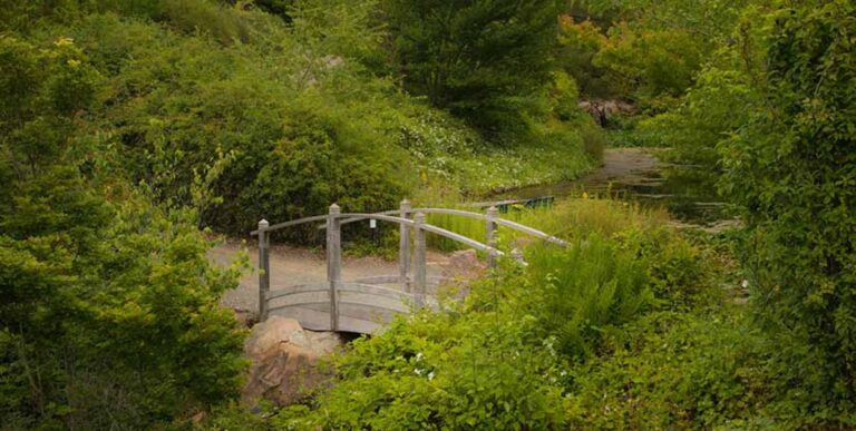
Situated around downtown Santa Rosa, the half-mile Prince Memorial Greenway is a series of terraces filled with outdoor sculpture and other artwork, native plants, terraces, bridges, tiled steps, and painted benches. The greenway connects to the 2.4-mile Santa Rosa Creek Trail, which meanders along the creek and through a tree-shaded corridor loaded with birds and glimpses of other wildlife. Along the short trail, hikers can expect scenic views of nearby farms, vineyards, and mountain ranges that’ll make you stop, stare, and appreciate your Sonoma County vacay a little bit more.
View the Guide to Hiking in Sonoma County.
Difficulty Level: Moderate to Strenuous
The Western Trail at Taylor Mountain Regional Park

Located in southeast Santa Rosa, Taylor Mountain Regional Park offers far-reaching vistas as you climb trails leading to the 1,380-foot summit. From the top, you’ll be able to see central Sonoma County, the Laguna de Santa Rosa, the Mayacamas Mountains, and many landmarks of the North Bay. It’s truly a stunning sight.
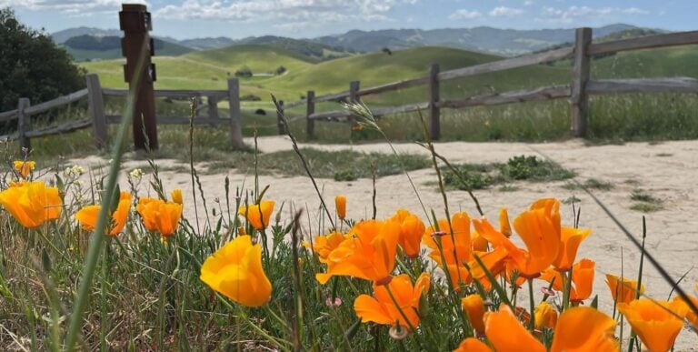
Taylor Mountain is home to a diversity of natural habitats — including creeks, grasslands, and woodlands — that support mountain lion, deer, fox, the California red-legged frog, red-shouldered hawks, and acorn woodpeckers, to name a few. The mountain is also known for many species of wildflowers that bloom from late winter well into spring.
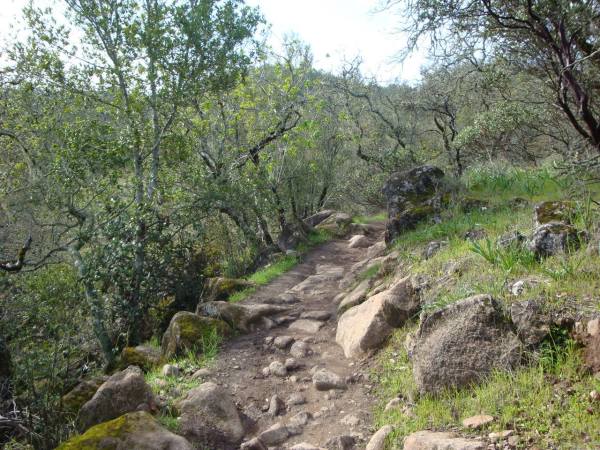
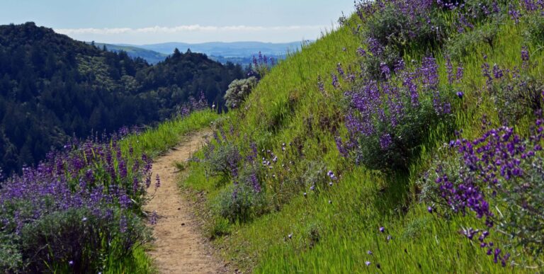
Taylor Mountain currently has 6.4 miles of trails. For a moderately strenuous hike, head out on the Western Trail. It climbs steadily but gradually up the mountain until intersecting with the more rigorous Eastern Trail. At this point you have three choices: turn right, climbing to the summit on the Eastern Trail’s steep last leg; move straight ahead onto the more gradual Sky Lupine Trail; or return to your starting point via the Western or Eastern trail. Whichever way you choose is guaranteed to be glorious!
The Ridge Trail at North Sonoma Mountain Regional Park
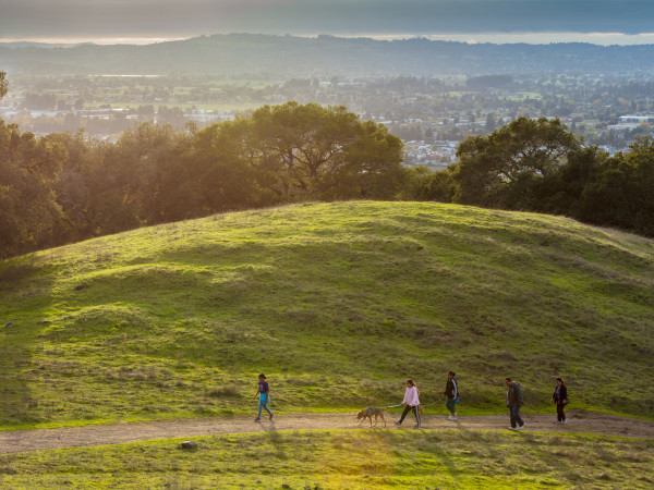
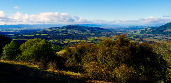
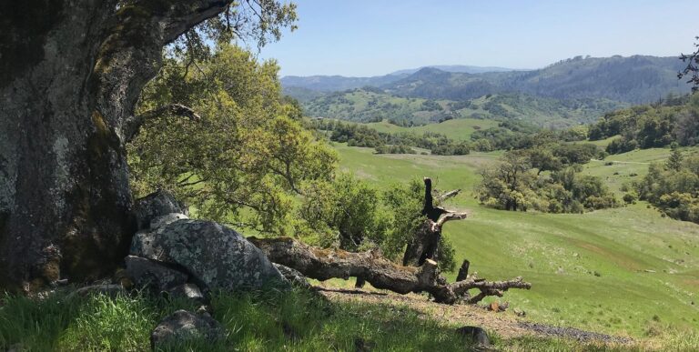
On the southeast edge of Santa Rosa, North Sonoma Mountain Regional Park is one of the newest parks in Sonoma County. Across its 820 acres, you’ll experience sweeping views of Sonoma Valley’s rolling hills and far-ranging landscape of trees.
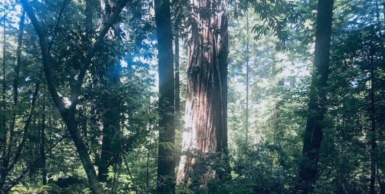
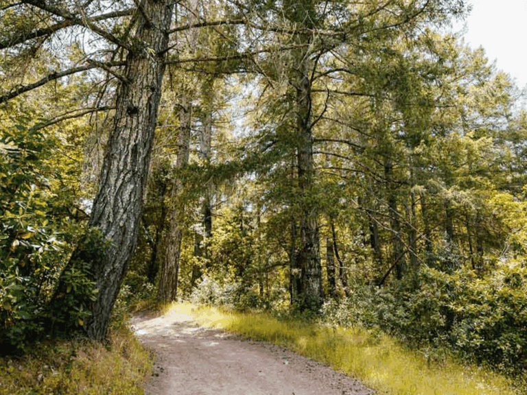
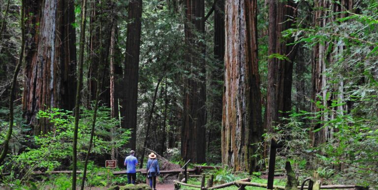
One of the park’s most popular hikes is the 3.7-mile Ridge Trail, situated on the north slope of the Sonoma Mountain. The beginning of the trail is tucked amongst the ferns and redwoods that surround the Matazanas Creek. Then, it climbs to nearly 2,000 feet, through oak and bay forests, and past inspiring scenic vistas, to ultimately connect with the extensive trail network at Jack London State Historic Park. Out and back, this hike is about 8 miles. Or, if you’re craving more exploration, continue deeper into Jack London Park via the Hayfields Trail. There you’ll find numerous trails and historic diversions.
Discover more challenging Wine Country hikes.
Difficulty Level: Advanced
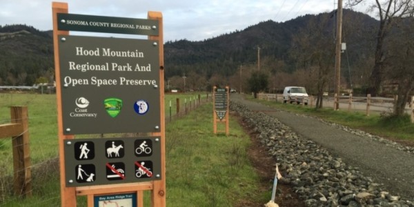
Lawson Trail at Hood Mountain Regional Park

Standing at nearly 3,000 ft., Hood Mountain is the highest peak in the Mayacamas Mountains, which separate the Sonoma and Napa valleys. Visitors to the 1,750-acre park have access to 19 miles of trails that wind through the towering mixed-conifer forests and colorful meadows that surround the area.
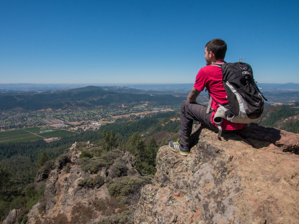
Like most Hood Mountain trails, the Lawson Trail is challenging, steep, and geared to experienced hikers. It climbs and zig zags from creek habitat through oak, chaparral, and cypress woodlands, then winds west across prominent ridge lines. The payoff is worth the sweat, though, thanks to the sensational sights surrounding the Sonoma Valley and Napa Hills, nearly 1,935-feet above the valley floor.
Explore other hiking trails at Hood Mountain Regional Park.
Responsible Hiking in Sonoma County
While hiking, help us protect and preserve the beauty of Sonoma County’s natural resources by adhering to the Leave No Trace Seven Principles, which include picking up your trash and pet waste, sticking to designated hiking areas, and observing local wildlife from a distance.
Written by Sonoma Insider Suzie Rodriguez
Places Mentioned
THIS IS WINE COUNTRY.
Share your experience using #SonomaCounty or #LifeOpensUp


